"Mossicles" (
pictures)
Directions:
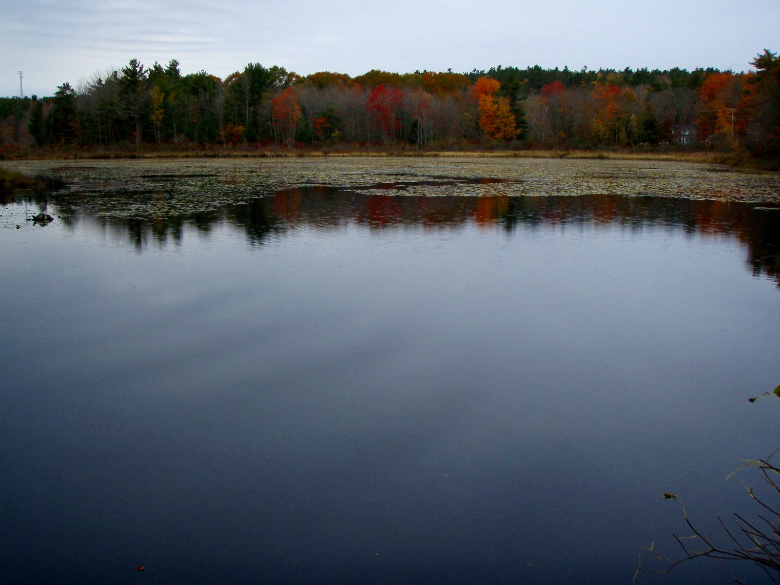
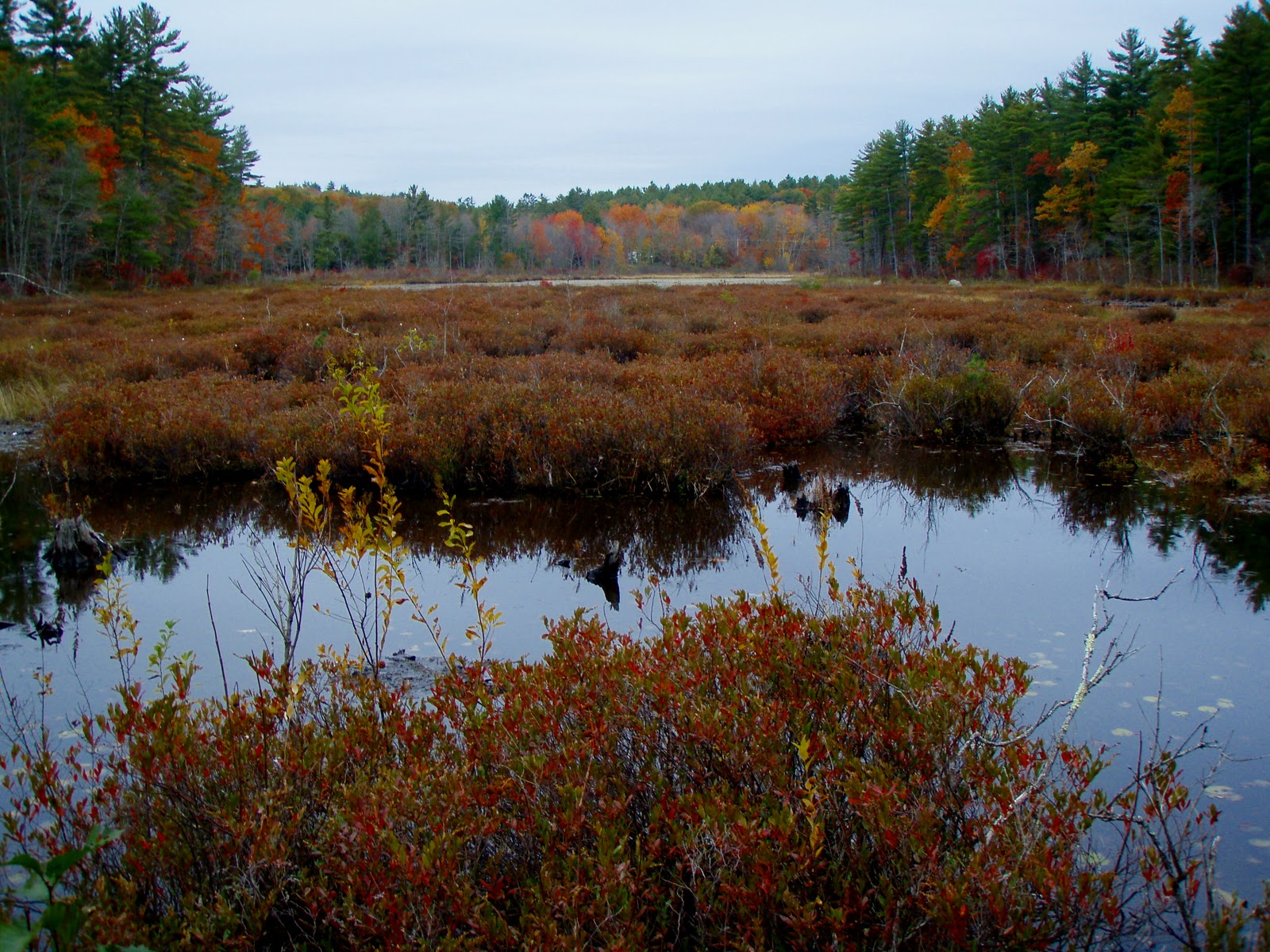
Barrington, NH head West on Rt. 9 past Calef's Country Store and the Pine Grove Cemetery. You will pass Province Rd. on the left and on the corner to the left is the pine tree hidden entrance to the parking area. The sign is set back from the road and you will see the marsh.
Yet another cold, windy weekend was really getting on our nerves! The forecast for below average temperatures hovering around 30 with strong winds had us bummed out Friday night. So we decided on just waking up whenever and hiking something small and close by. We headed out in the morning, winter jackets in hand...blah! I was undecided on heading to nearby Blue Job Mt., Little Niagra Falls or Stonehouse Pond. Instead I set my sights on something I visited back in October 2010,
Goodwill Conservation Area. Scott had not yet been here and it was raining last I visited. It was an easy logging road walk and sheltered somewhat from the winds. So this was a good choice!

The parking lot was still partially plowed in, but nothing four-wheel-drive couldn't handle! We threw our jackets on already cold just from stepping out of the truck! The time was 11am. The marsh was still frozen over as we made our way over the small bridge over the outlet stream. Then right at the fork to follow the trail along the marsh. The trail makes a small loop, but Scott noticed a barely visible trail at the loops corner that continues to follow the marsh! This trail basically follows the bank along the shore of the marsh until it joins the main logging road (left at the before mentioned fork).

From here we followed the road beyond the marsh and slightly uphill past some small quarry sites. A lone track of fresh footprints were noticed in the snow patches in one direction. We were apparently not along in these woods! Sure enough a man came into view headed back out. He looked surprised to see anyone here and was happy to tell us the logging road goes all the way over to Beauty Hill Rd. We soon reached the ledges rising on either side of us sporting green moss, lichen and melting ice. It was very pretty. You can take a left before the ledge and follow a trail that breaks left to an open area with a tree top view across the valley. Back on the ledge a fire pit was left with a broken liquor bottle and beer cans. Once again I should have brought a trash bag with me. It's just so upsetting to always have to take a trash bag with you to pick up after those who don't respect nature and the law for that matter!

We now followed the mans tracks trying to figure out which direction he went. Scott took off hot on his trail as I slacked behind still at the ledge taking pictures of icicles poking out from the moss which I call "Mossicles" :p>LOL! I caught up and we walked the road which made a loop to another part of the marsh where we explored the woods and shore in this area. Then the road loops back to the ledge again. Perfect! We now made our way back towards the parking lot making note of some of the pretty rocks laying around near the quarry areas. We finished this fine figure eight loop at 12pm. An hour well spent! This is a family friendly walk, easy for all ages! Views are not what this area boasts of. But the marsh, forest and ledges are pretty and in the summer your sure to see a wood chuck, otter or beaver!


 The parking lot was still partially plowed in, but nothing four-wheel-drive couldn't handle! We threw our jackets on already cold just from stepping out of the truck! The time was 11am. The marsh was still frozen over as we made our way over the small bridge over the outlet stream. Then right at the fork to follow the trail along the marsh. The trail makes a small loop, but Scott noticed a barely visible trail at the loops corner that continues to follow the marsh! This trail basically follows the bank along the shore of the marsh until it joins the main logging road (left at the before mentioned fork).