"Loop and Lunch" (
pictures)
I was scheduled to have my monthly lunch with my Gram in Epsom on Thursday. I generally do a quick hike around Stonehouse Pond afterward but I wanted to try something else this time. So I decided to get up early and head to Northwood Meadows in ... you guessed it, Northwood! I printed off a
map from the
NH Parks & Recreation site and headed out! Onto Rt. 4, also known as Antique Alley and a large sign marks the parking area. It's pretty impressive the number of State Parks and Wildlife/Forests areas in this part of the state!
I parked next to two cars, threw my back pack on with some light winter/emergency gear in it and headed off down the logging road at 10:30am. This large logging road (a snow mobile trail in winter) was nice and packed for bare booting. Dog shit was all over the place which never fails to piss me off! Pick up after your dog! It's the law and it's gross! After crossing the river you can continue on the road or there are two trails (smaller logging roads) that break off to the right. These are marked with a "no snow mobiles" sign. I passed the first and decided to take the second. Brush and a black erosion barrier lines most of the trail along the small stream.

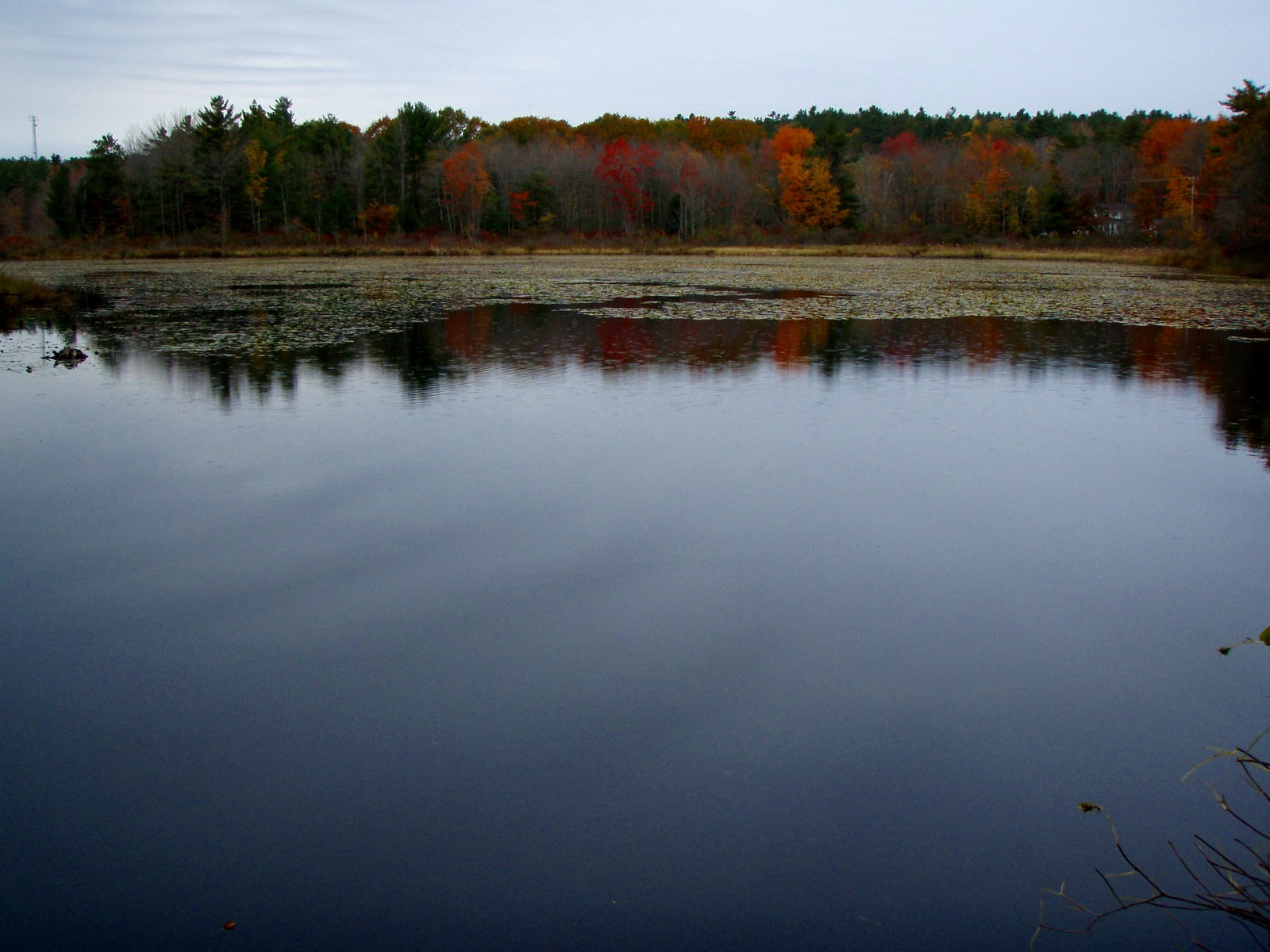
After negotiating some ice the trail opens up as you come back out onto a large logging road known as the NALMC Trail. There is a nice view across the lake, still frozen with snow and ice. I continued on counter clockwise taking the first trail which makes the pond loop. The trail follows the pond and passes a peninsula of sorts with a picnic area. I took some pics, picked up a beer bottle and kept my quicker-than-usual-so-I-am-not-late-for-lunch pace!
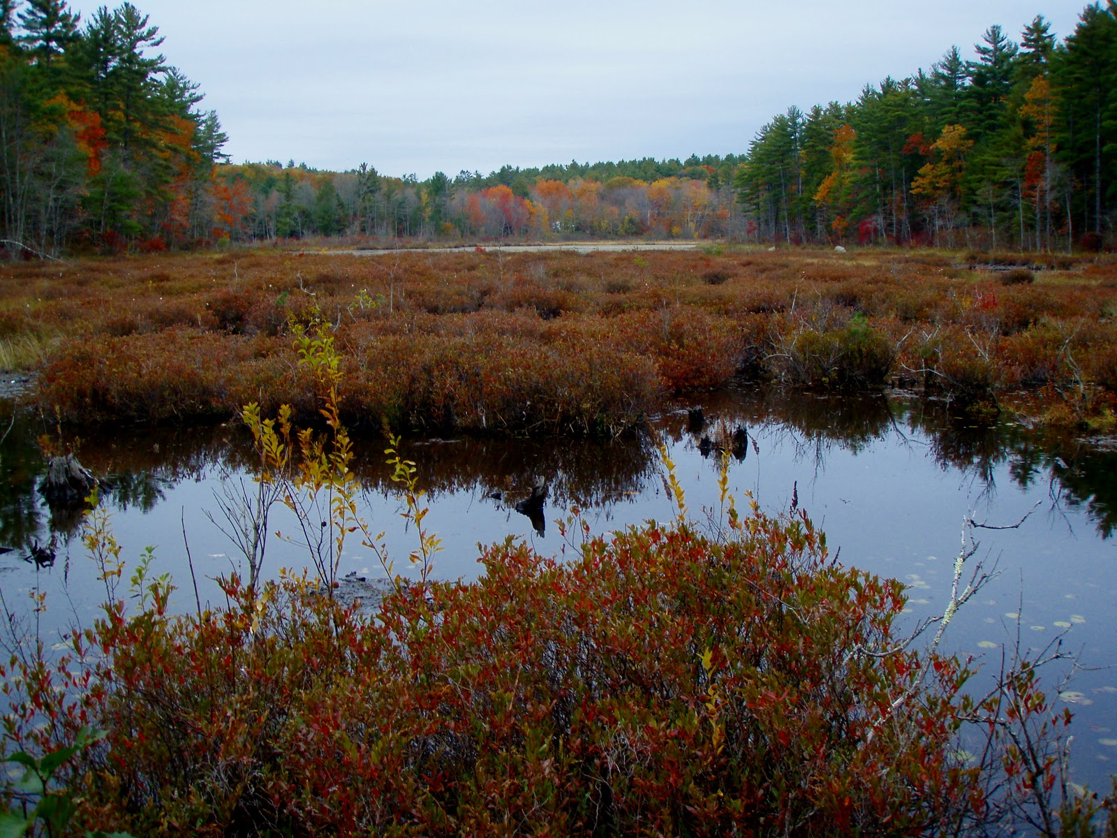
I broke back off of the logging road at the Southern most part of the pond crossing a dam. I negotiated some more ice as the trail swings South for a view across the large marsh, then cuts back North again. The trail climbs the banking away from the ponds edge for a little bit then follows it closely again. I stopped to take pictures at one spot and looked down at a beaver stump to find some fine Slime Mold specimens! And as most know, a fungus photo opportunity makes me a happy person!

I crossed a small stream, the bridge marked with a blue broom! What a unique trail blaze, LOL! I took some pics here of the rushing stream. Checked my phone to see I was running late and got a move-on! I passed another picnic area near a rocky shore and scored my favorite pond picture of the day. I then connected back on to the main logging road passing a kiosk and outhouse. As I neared the parking area people were coming down the trail by the handful. All with dogs. Apparently a very popular dog walking area. I finished this lovely pond loop at 11:45am and got to lunch right on time! :-)


 "A Barrington Find on a Yucky Day" (pictures)